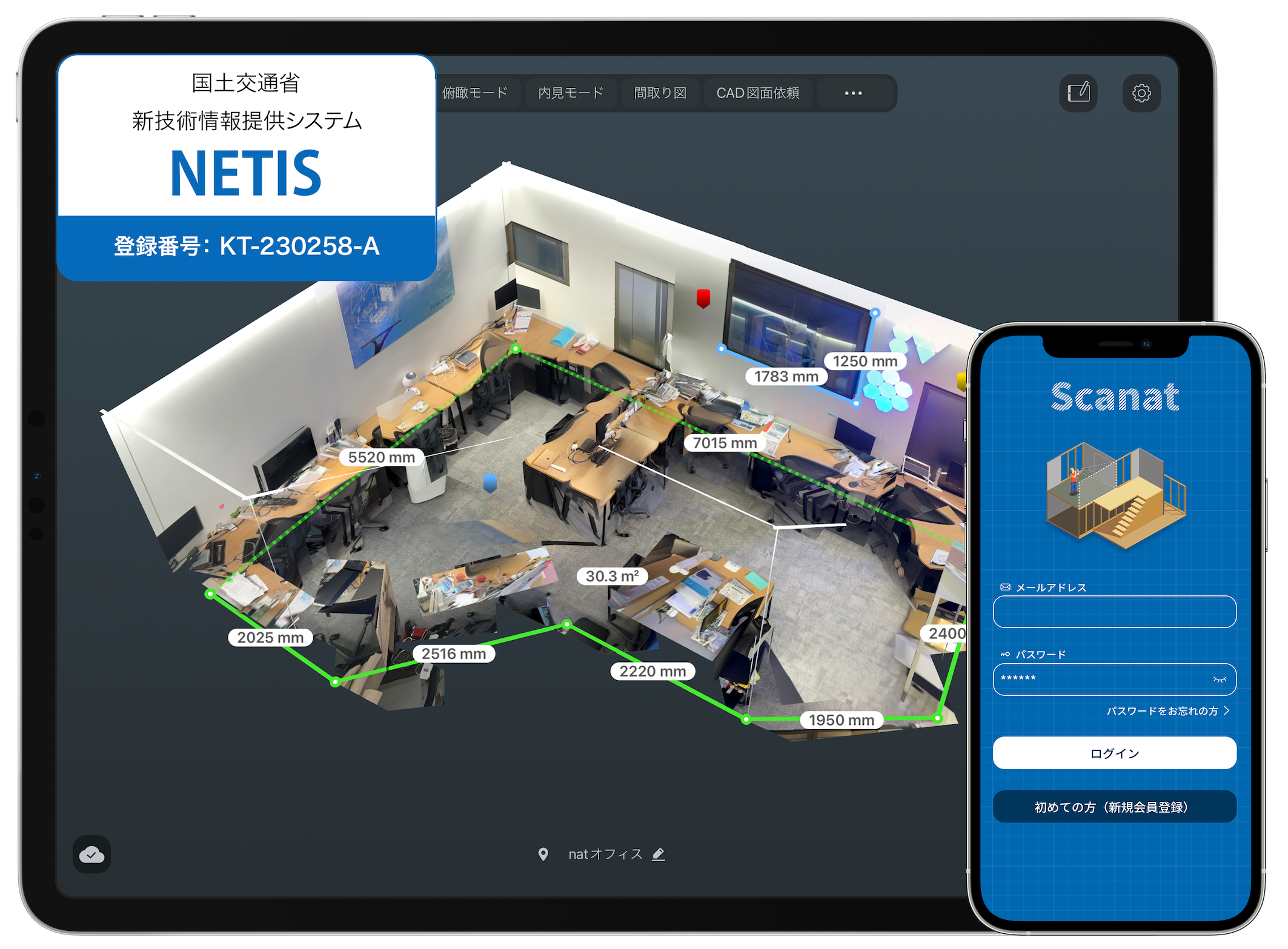
The 3D scanning and measurement app “Scanat ” has been registered with “NETIS,” the New Technology Information System operated by the Ministry of Land, Infrastructure, Transport and Tourism
nat劉 栄駿We are pleased to announce that the 3D scanning and measurement app “Scanat ”—which the Company develops and provides—has been registered in the “NETIS” New Technology Information System operated by the Ministry of Land, Infrastructure, Transport and Tourism as of January 12, 2024.
■ What is NETIS?
This is a database system developed by the Ministry of Land, Infrastructure, Transport and Tourism to facilitate the sharing and provision of information on new technologies, with the aim of promoting their adoption. The government encourages the use of NETIS-registered technologies to improve construction efficiency. If a contractor on a public works project proposes the use of a registered new technology and it is actually implemented in the project, the contractor may receive bonus points in the project performance evaluation based on the technology’s effectiveness.
■ 3D scanning and measurement app “Scanat "
In industries that deal with physical spaces—particularly the construction industry—there is a challenge where man-hours are being strained by analog processes, such as using protractors, lasers, and cameras, to record and share on-site conditions and measurements.
The 3D scanning and measurement app “Scanat ” is an app that utilizes your LiDAR-equipped iPhone or iPad to accurately record and measure sites. With this app, even users without specialized knowledge can easily create 3D models of spaces, take measurements, record notes, and create drawings. The Ministry of Land, Infrastructure, Transport and Tourism has recognized that utilizing these features improves cost-effectiveness, shortens project timelines, and enhances constructability during on-site surveys, leading to the app’s recent registration in the “NETIS” New Technology Information Provision System.